Dimple Jain
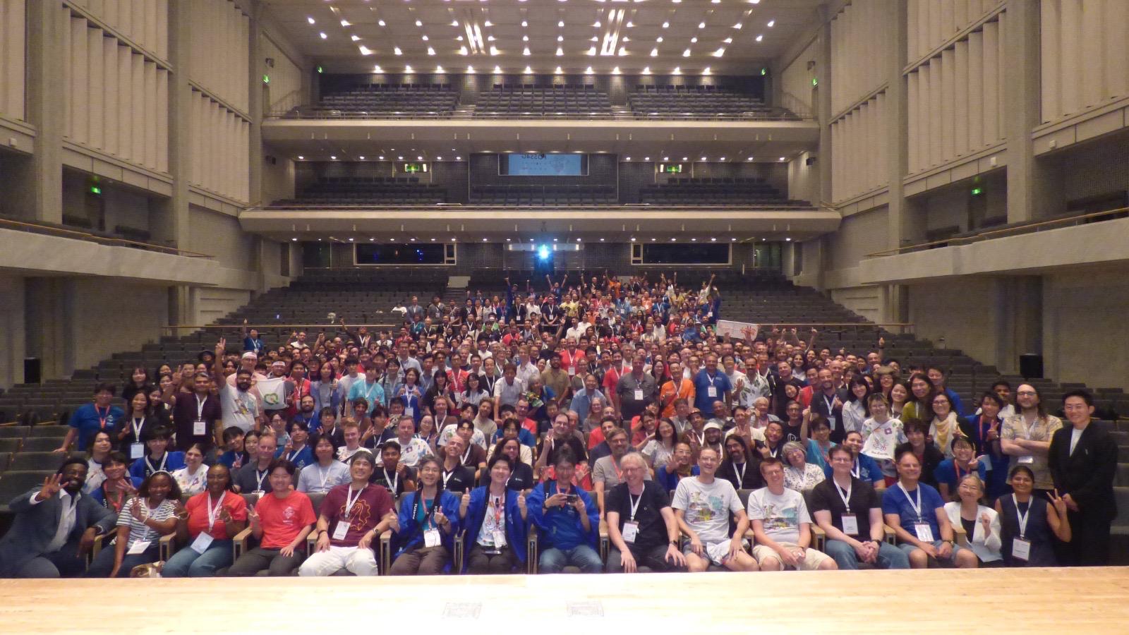
FOSS4G - volunteering, talks, a STAC sprint at JAXA, and everything Japan made me think about along the way.
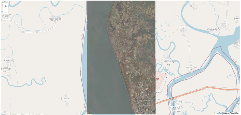
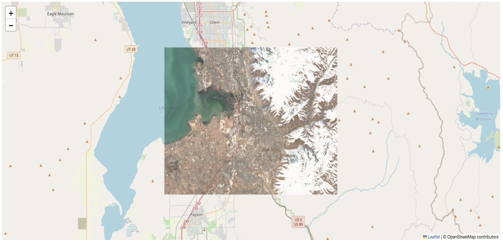
Learn how to use TiTiler’s STAC endpoints to explore and visualize satellite imagery. From basic info to advanced band math and colormaps.
QGIS playlist covering fundamental concepts, spatial analysis, raster and vector data handling, and plugins
Here’s everything I read along with my honest thoughts.
A guide to using TiTiler for geospatial data visualization. Discover how to serve Cloud-Optimized GeoTIFFs through simple API endpoints for interactive web maps